
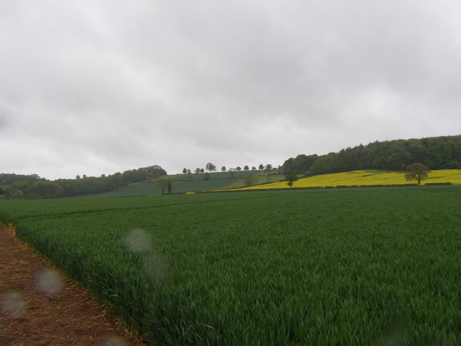
The Western end of Edgecot Hill - walking from Edgecote Village
This was probably the view that Redesdale's Rebels had from their right flank looking at Pembroke's position
The battlefield is remarkably close to the Cropredy Bridge battlefield (within a mile or two) demonstrating again how the English midlands is a patchwork of historic battlefields.
My previous post gives more details of the battle and the great refight we did, but this might be of interest to those who wish to see this War of the Roses battlefield now.
There is a proper trail which covers the English Civil War Cropredy Bridge battlefield, and I understand, can be walked to include the Edgehill battlefield too, however, time constraints meant that today was going to be a walk down a footpath to the centre of the battlefield (or the area of the battlefield that most sources accept). The info boards at the site give an alternative location on the Eastern side of Edgecote Hill.
I only discovered the location of one of the info board today from browsing the web and it appears to be on the Culworth to Trafford Bridge road. Sadly we didn't get to see the info boards on the walk.
To anyone visiting the battlefield I should say that the village of Edgecote is unmarked by any signage, it seems to consist of a cul-de-sac off of the road with one church and several very large manor houses. Once found then there are a good number of footpaths and bridleways which will take you to the centre of the battlefield as well as right around it.
I would also advise choosing a day when it isn't lashing down with torrential rain! We were very unlucky as Friday and Sunday were glorious days but the Saturday when we went there - well it was a very muddy experience! Getting the map out even for a few minutes risked it disintegrating.
Shifting the view left slightly (Eastwards) from previous pic. This is more the centre of Edgecote Hill

Following the bridleway further - the Eastern end of the hill is now visible. An alternate position for the battle is that it was fought at that eastern end


Looking straight up the slope. The most common view is that Pembroke's men would have come down this slope to close up with the rebels. Their lack of bows probably making this a tactical necessity

Looking just to the right of the pic above - this shows the western edge of Edgecot hill
Please excuse the water droplets on the lens - it really was torrential!
This battlefield really is worth a good look around with a day to spend doing so. As well as the history, the scenery is quite something and the village pubs look worth a visit too With a little bit of planning, it would be easy to take in Cropredy Bridge as well in the same walk - much recommended! My pics of the Cropredy Bridge area have featured in a previous post.
Despite the rain, it was well worth getting out and exploring the actual battlefield. Plenty of painting inspiration was gained!
Nice pics Jason, looks like an interesting battlefield to visit.
ReplyDeleteThanks Cyrus, On a day with better weather it's worth exploring a lot more!
ReplyDeleteBest wishes,
Jason